


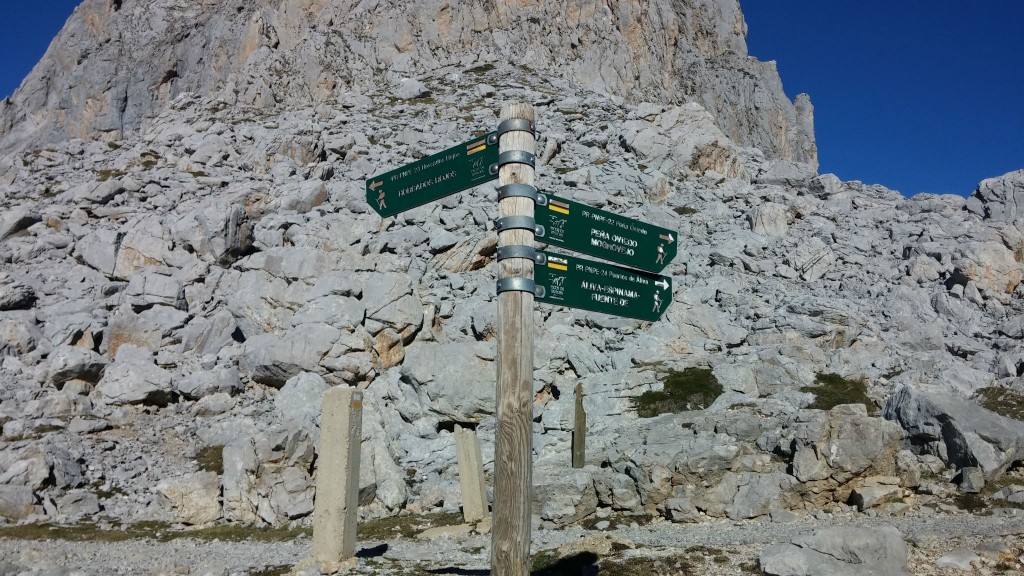
Routes
ONLINE BOOKING
Get your accommodation at the best price
Do you like hiking and mountain routes?
We suggest some of the routes in Asturias and Cantabria for hiking. For lovers of hiking and the mountains, both eastern Asturias and western Cantabria have endless routes and paths of different characteristics and difficulty. Mountain routes for expert hikers and easy routes to do with the family.
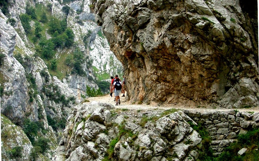
The Cares Route
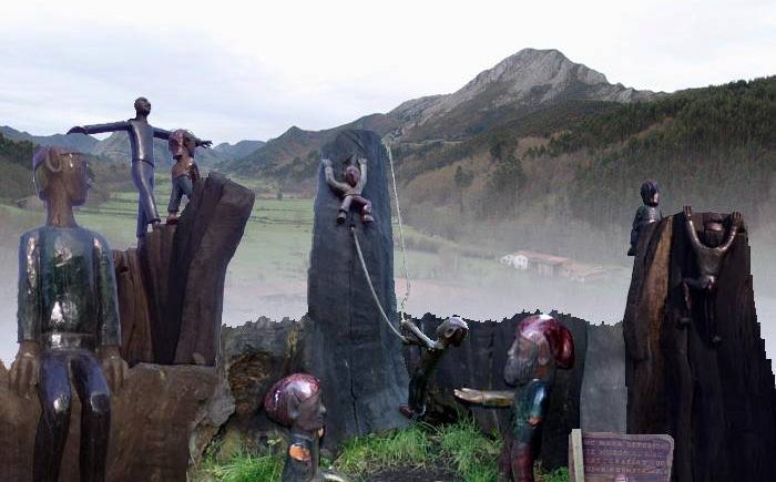
The Camín encantau
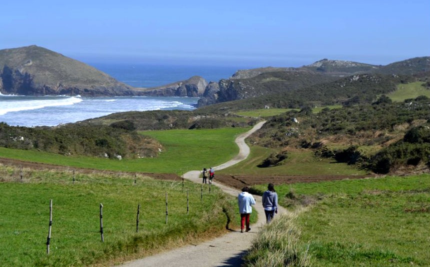
Coastal Path
Olla de San Vicente
Picu Paisau Route
Route of Colors
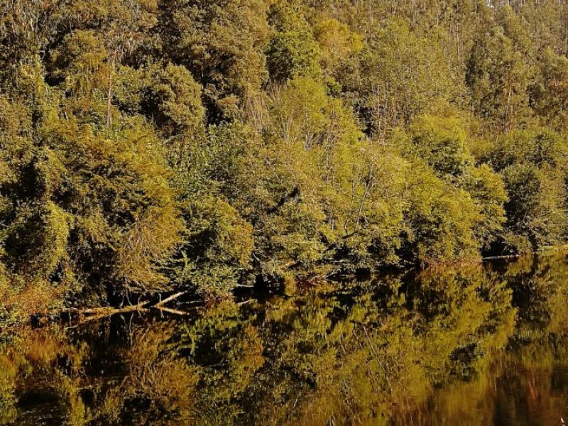
Nansa River River Trail
The River Nansa Trail is an easy route with beautiful scenery that runs along the banks of the River Nansa in Cantabria. For pedestrian use, the route has several sections. From the campsite we can start it from Muñorrodero to Camijanes (round trip) in about 4 hours. The distance from the campsite is 10 km.